Description
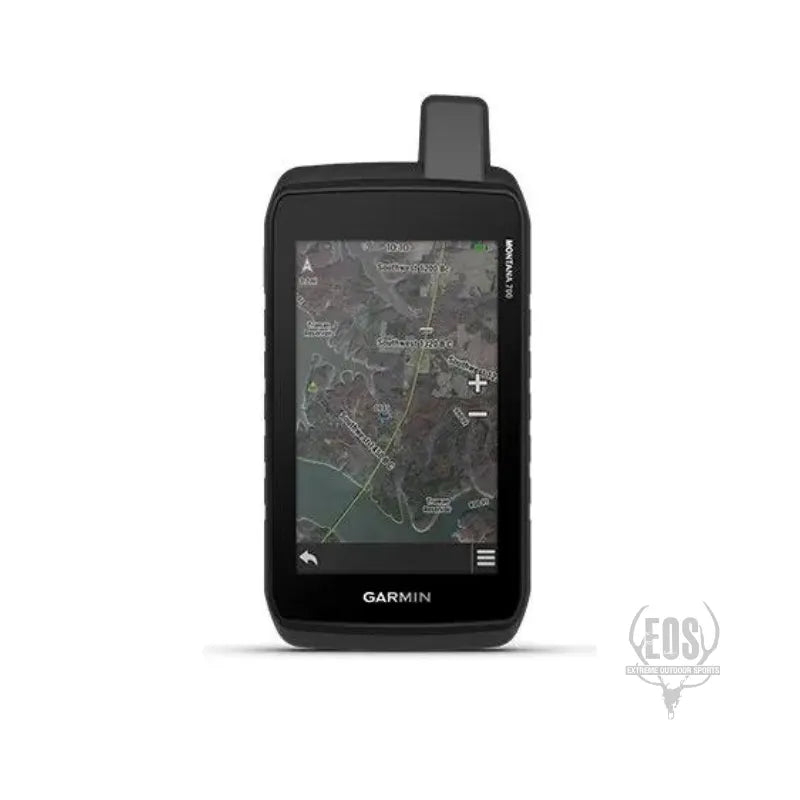
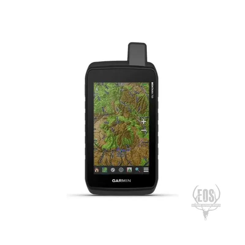
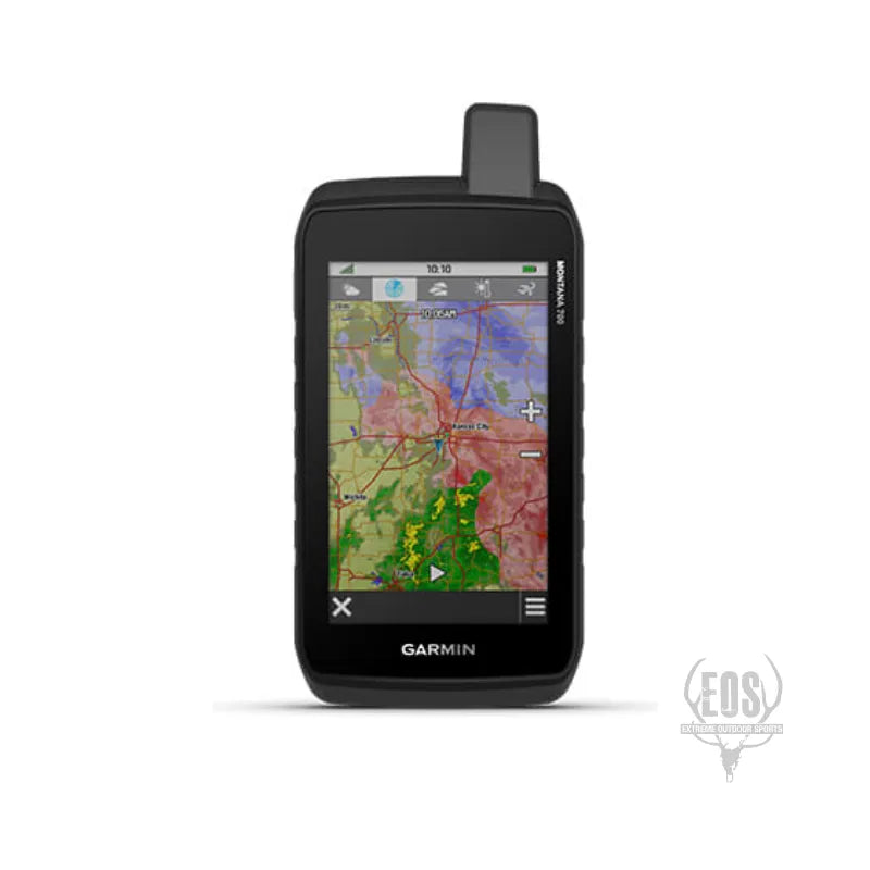
The Garmin Montana 700 is a rugged handheld GPS designed for outdoor enthusiasts. Here are some key features:
-
5” touchscreen: The large touchscreen makes navigation easy.
-
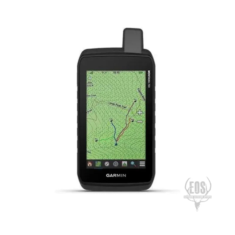
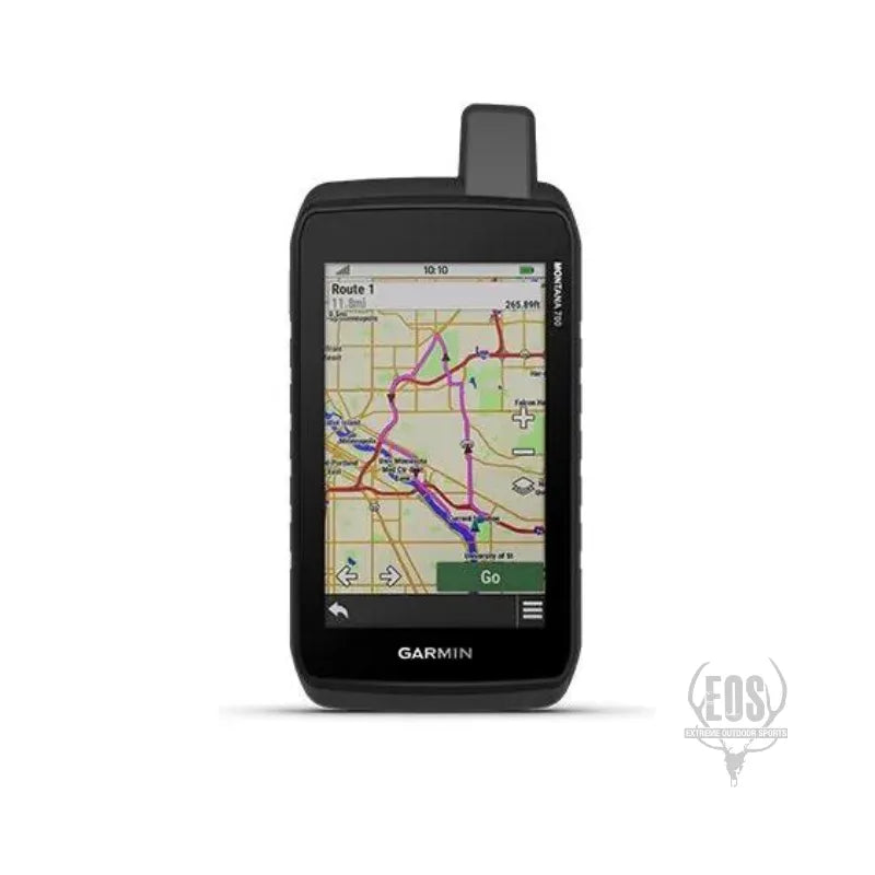
Routable mapping: It includes maps for roads and trails, allowing you to explore on foot, bike, kayak, ATV, and more.
-
Durable design: Tested to U.S. military standards (MIL-STD 810) for thermal, shock, water, and vibration.
-
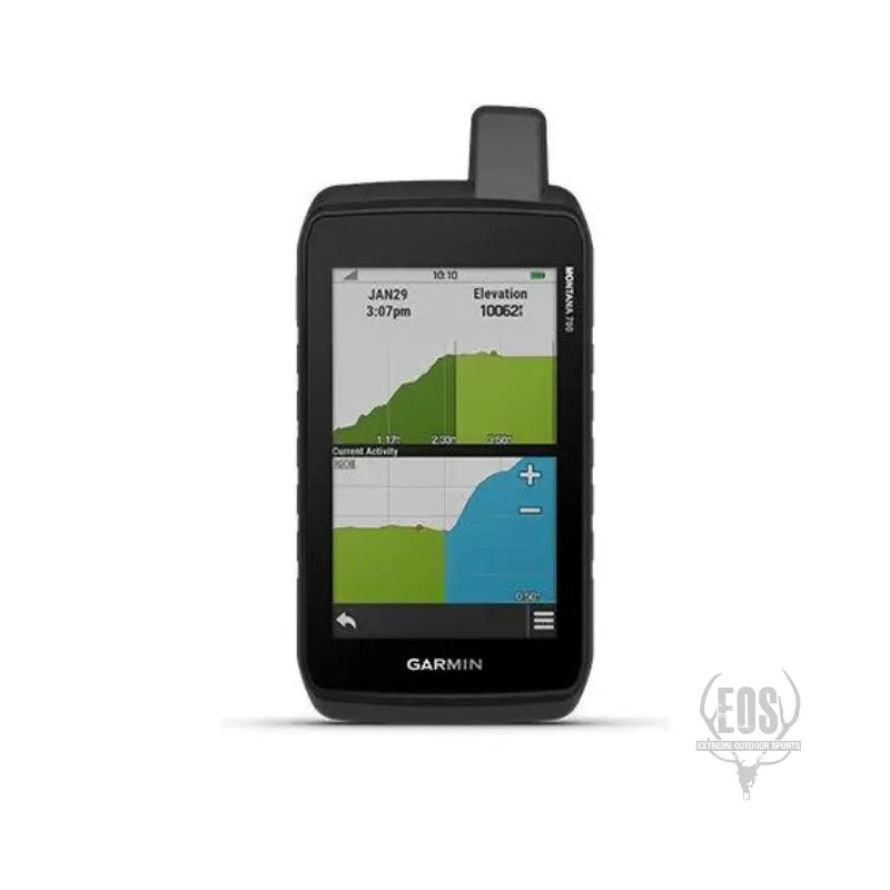
ABC sensors: Altimeter, barometer, and 3-axis electronic compass.
-
18+ hours battery life: Ideal for extended adventures.
-
Multi-GNSS support: Access to GPS, GLONASS, and GALILEO satellite networks.
-
BirdsEye Satellite Imagery: Photo-realistic views for better orientation.
-
TopoActive Maps: Preloaded topographical maps for the U.S. and Canada.
-
LiveTrack: Wirelessly connect with other compatible Garmin GPS users.
-
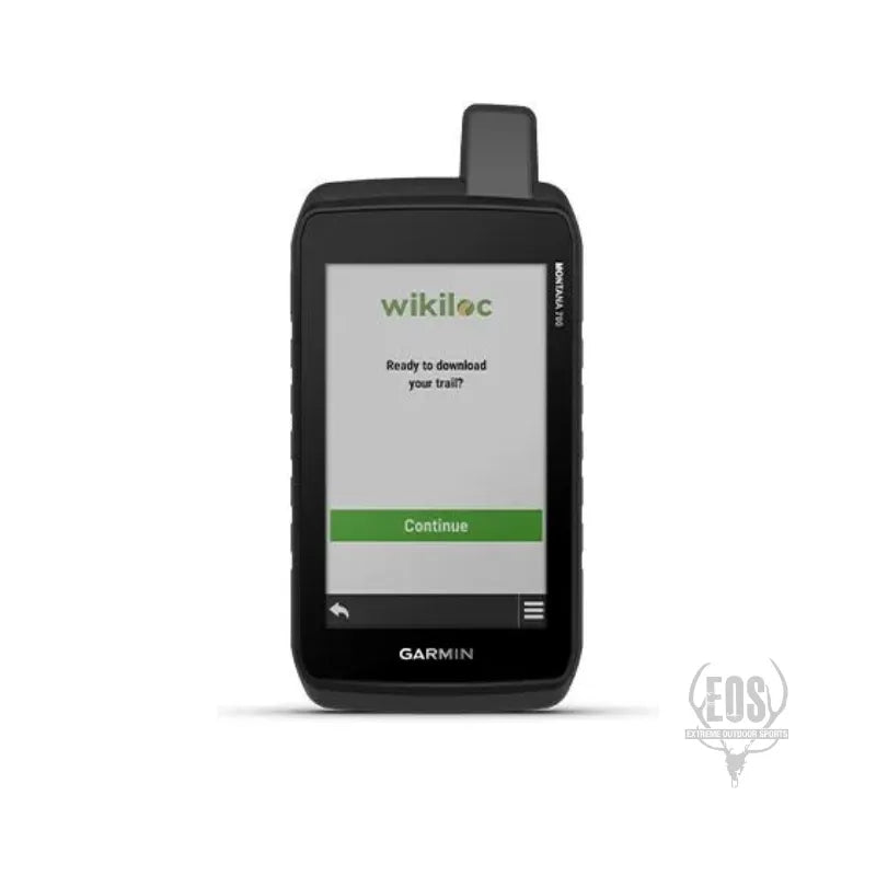
Wikiloc Trails: Download hiking and cycling trails shared by outdoor enthusiasts.
-
Expedition mode: Ultralow-power GPS reference for off-grid tracking.